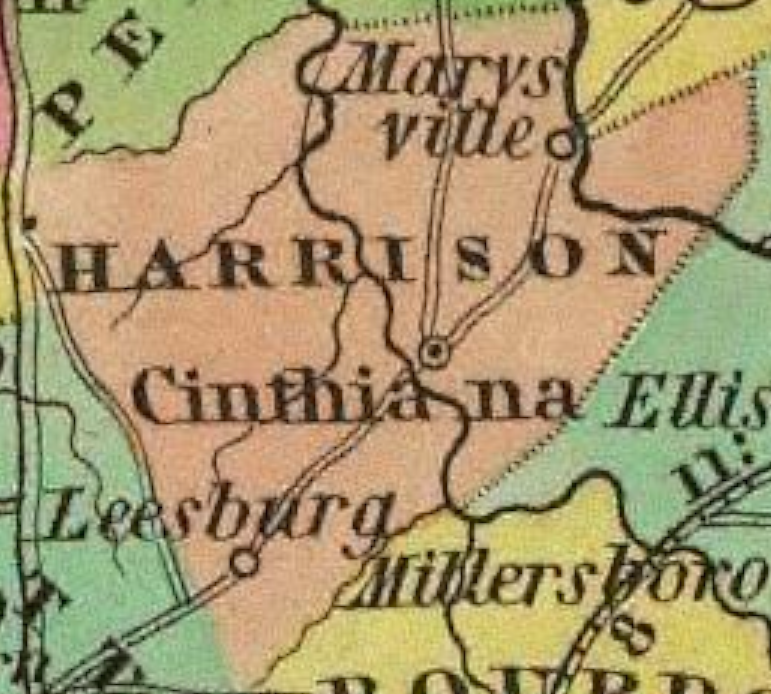
 Harrison county is in the Bluegrass region of Kentucky. The elevation in the county ranges from 540 to 1060 feet above sea level.
It was formed in 1794 from Bourbon and Scott counties. Harrison county was a source of Campbell (1795) and Robertson (1867) counties. The county seat is Cynthiana.
Important!
The county of Harrison was created : to have effect from and after the first day of February, 1794: “beginning on the Blue Lick fork- of Licking, at that point from whence a line parallel with Clark county line will strike a point to be found eight miles a due north course from Bourbon courthouse; thence a line to the mouth of Townsend creek, and up the same to the mouth of Silas’ run, thence up the main branch of said run to the head thereof; thence with the Scott county line so far as it continues on the dividing ridge; thence with said ridge to a parallel with the head of the south fork of Big Lick creek, and down said fork, to the south fork of Licking; then down the said fork to the mouth thereof; thence up the said Blue Lick fork to the beginning.”In 2010 the county population was 18,846 in a land area of 306.36 square miles, an average of 61.5 people per square mile.
The equine population was 3,500 in the 2012 Kentucky Equine Survey.
Harrison county was named for Colonel Benjamin Harrison (born in Pennsylvania circa 1745 and died in Missouri in 1808), an early settler in the area and member of the Kentucky legislature.
The Harrison county area was the home of native Indians from prehistoric times and ancient burial mounds remain. The first European settlers arrived in 1775 at what became known as Ruddell’s Station.
— http://www.kyatlas.com/21097.html
